Interactive Flood Map for the U.S.
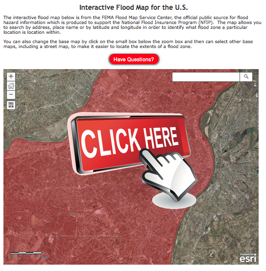
The interactive flood map below is from the FEMA Flood Map Service Center, the official public source for flood hazard information which is produced to support the National Flood Insurance Program (NFIP). The map allows you to search by address, place name or by latitude and longitude in order to identify what flood zone a particular location is located within.
You can also change the base map by click on the small box below the zoom box and then can select other base maps, including a street map, to make it easier to locate the extents of a flood zone.


